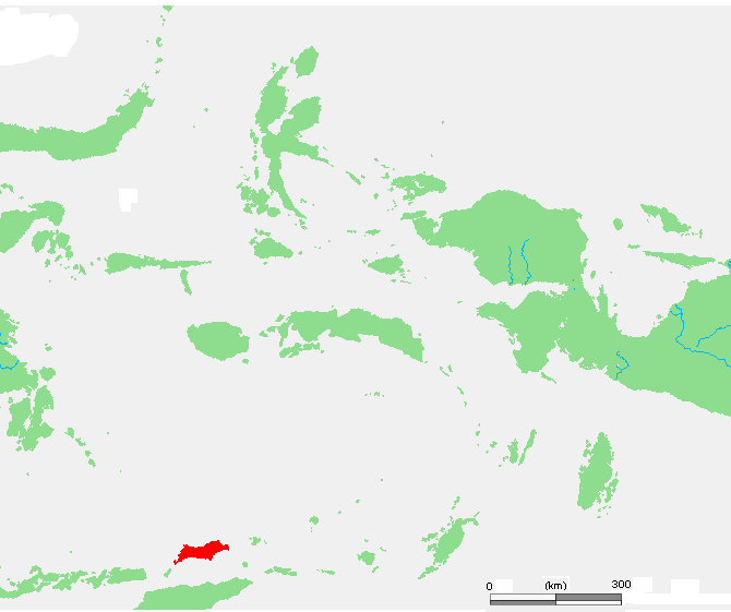
File:ID Wetar.PNG
无更高分辨率可提供。
ID_Wetar.PNG (670×561像素,文件大小:20 KB,MIME类型:image/png)
| 描述 | ID Wetar.PNG | ||||
| 来源 | own work based on PD map | ||||
| 作者 | edited by M.Minderhoud | ||||
| 许可协议 (重用本文件) |
|
文件历史
揿一个日脚/辰光来望当时出现过个文件。
| 日脚 / 辰光 | 微缩图 | 维度 | 用户 | 备注 | |
|---|---|---|---|---|---|
| 当前 | 2006年7月16号 (日) 07:44 | | 670 × 561(20 KB) | Michiel1972 | {{Information |Description= {{subst:PAGENAME}} |Source= own work based on PD map |Date= |Author= edited by M.Minderhoud |Permission= {{PD-Demis}} |other_versions= }} category:Locator maps of islands in Indonesia |
文件用法
下向许1张用着箇文件:
全域文件用场
下底个其他wiki使用箇只文件:
- ar.wikipedia.org上个用途
- arz.wikipedia.org上个用途
- ceb.wikipedia.org上个用途
- es.wikipedia.org上个用途
- fr.wikipedia.org上个用途
- id.wikipedia.org上个用途
- it.wikipedia.org上个用途
- ja.wikipedia.org上个用途
- nl.wikipedia.org上个用途
- sv.wikipedia.org上个用途
- uk.wikipedia.org上个用途
- vi.wikipedia.org上个用途
- www.wikidata.org上个用途
- zh-yue.wikipedia.org上个用途
- zh.wikipedia.org上个用途