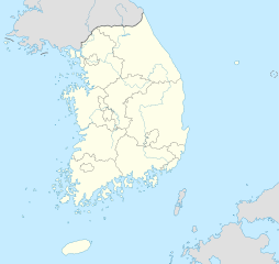
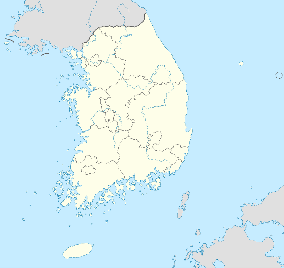
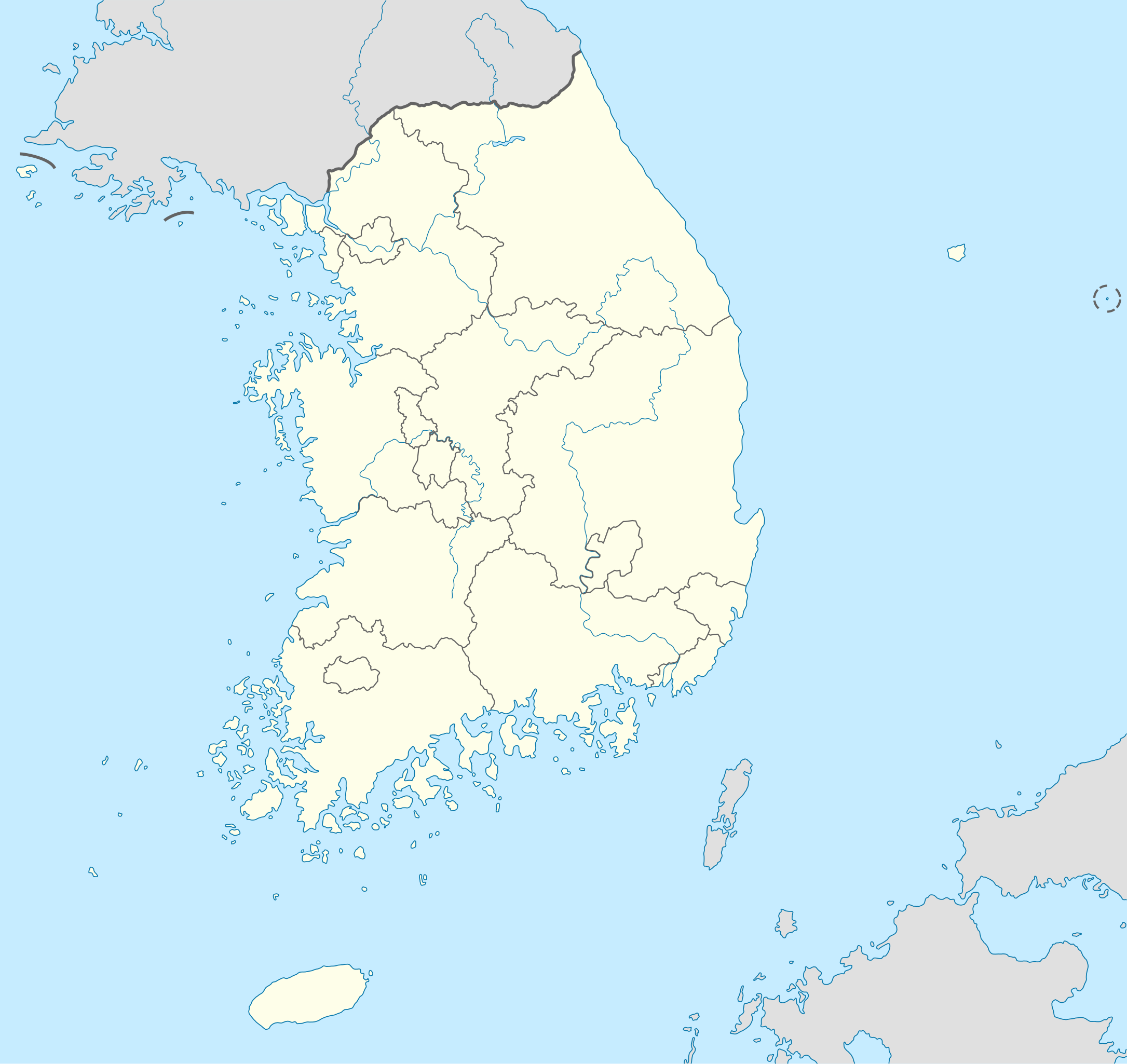
File:South Korea location map.svg

此SVG文件的PNG预览的大小:635×599像素。 其他分辨率:254×240像素 | 509×480像素 | 814×768像素 | 1,085×1,024像素 | 2,171×2,048像素 | 1,772×1,672像素。
原始文件 (SVG文件,名义大小:1,772×1,672像素,文件大小:376 KB)
小结
| 描述 |
Deutsch: Positionskarte von Südkorea
Quadratische Plattkarte, N-S-Streckung 120 %. Geographische Begrenzung der Karte:
English: Location map of South Korea
Equirectangular projection, N/S stretching 120 %. Geographic limits of the map:
|
| 日脚 | |
| 来源 |
own work, using
|
| 作者 | NordNordWest |
| 其他版本 |
Derivative works of this file: |
| SVG开发 |

授权协议
我,本作品著作权人,特此采用以下许可协议发表本作品:

|
已授权复制、传播搭/或修改本文档,依据自由软件基金会发布个GNU自由文档许可证1.2版或任何后续版本个条款;呒不弗可变章节,也呒不封面封底文字。许可证个副本包括勒GNU Free Documentation License章节当中。 |
本文件用知识共享“署名-相同方式共享 3.0 未本地化版本”许可协议授权。
- 侬可以自由地:
- 分享 – 复制、发行、展览、表演、放映、广播或通过信息网络传播本作品
- 修改 – 改编本作品
- 来箇眼条件下底:
- 署名 – 侬板定要畀出适当个署名,提供许可协议个链接,同时标明侬阿有改动过。侬好用任何合理个方式来做,但必过弗好用任何方式暗示许可人是侬或侬个使用背书。
- 相同方式共享 – 如果你混合、转换或基于此素材创作,你板定要用搭原来相同或兼容个许可协议分发你个贡献作品。
侬好选择侬需要个许可协议。
文件历史
揿一个日脚/辰光来望当时出现过个文件。
| 日脚 / 辰光 | 微缩图 | 维度 | 用户 | 备注 | |
|---|---|---|---|---|---|
| 当前 | 2012年6月2号 (六) 18:48 | | 1,772 × 1,672(376 KB) | Geoarchive | Update Sejong Special Autonomous City |
| 2010年10月25号 (一) 01:48 |  | 1,772 × 1,672(377 KB) | NordNordWest | upd | |
| 2010年10月3号 (日) 04:05 |  | 1,559 × 1,672(349 KB) | NordNordWest | upd | |
| 2008年8月27号 (三) 02:57 |  | 1,559 × 1,673(502 KB) | NordNordWest | {{Information |Description= {{de|Positionskarte von Südkorea}} Quadratische Plattkarte, N-S-Streckung 120 %. Geographische Begrenzung der Karte: * N: 38.9° N * S: 33.0° N * W: 124.5° O * O: 131.1° O {{en|Location map of [[:en:South |
文件用法
呒一页用着箇文件。
全域文件用场
下底个其他wiki使用箇只文件:
- as.wikipedia.org上个用途
- en.wikipedia.org上个用途
- fr.wikipedia.org上个用途
- fr.wikinews.org上个用途
- incubator.wikimedia.org上个用途
- ko.wikipedia.org上个用途
- sv.wikipedia.org上个用途
- zh.wikipedia.org上个用途